Concept
«Where to Shoot» is an editorial guide to urban locations for photographers, content creators, and anyone looking to organize their own photoshoot. The media’s primary goal is to help users find a suitable shooting location, assess its visual characteristics, and prepare a work plan in advance. The project combines photographs of urban spaces with information on architecture, lighting features, ideal angles, and potential restrictions.
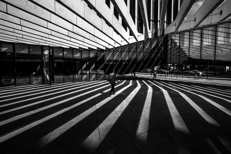
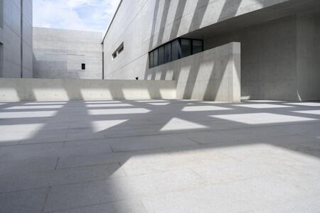
The core concept is to transform the simple act of searching for a beautiful location into comprehensive pre-production preparation. The initial territory for exploration is Moscow. Telegram serves as the primary platform for content dissemination, supplemented by VK Clips and Pinterest. In the future, we plan to develop an interactive map that allows users to search for locations based on districts, shooting genres, lighting conditions, and accessibility.
Data Sources for Media
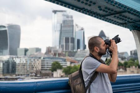
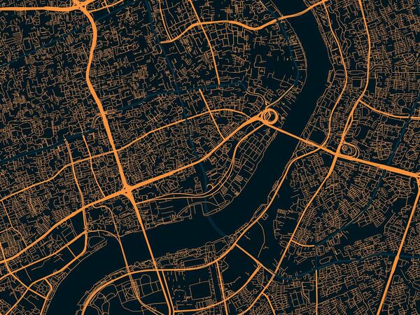
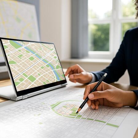
To create content for «Where the Shot Was Taken, ” we draw from several primary sources of information. The first is the editorial team’s original photographs and visual observations, which allow us to assess architecture, background, textures, perspective, and spatial characteristics. The second is mapping services, such as Yandex Maps and 2GIS, which help determine the location of objects, addresses, and features of the surrounding infrastructure.
The third—official websites for parks, museums, and public spaces, necessary to clarify operating hours, visitation rules, and restrictions for filming. The fourth—meteorological services that provide information on weather, cloud cover, and natural lighting conditions.
Fifth — user suggestions, photos, comments, and reviews, which allow users to discover new interesting places and learn about the experiences of other photographers. Open photo libraries and visual platforms are also used to source references. All collected information is consolidated into the project’s general database.
Data schema with separation for human and machine processing
Data work is built upon a combination of automated processing and human oversight. In the first stage, machine processing assists in collecting, sorting, and structuring information about urban locations: name, address, district, space type, architectural features, photographs, weather conditions, and lighting characteristics. Artificial intelligence is used to classify locations by shooting genre (portrait, fashion, street, brand content), analyze visual characteristics, group similar locations, and prepare preliminary recommendations for angles and shooting times. Automated tools also help generate draft descriptions and systematize large volumes of information. During the human processing stage, the editor verifies the accuracy of addresses, the relevance of the information, visiting regulations, and the feasibility of conducting a shoot.
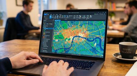
Additionally, the person assesses the artistic appeal of the location, refines recommendations for lighting and composition, verifies suggested angles, and separates confirmed facts from assumptions. After review, the information is formatted into a unified location card, which includes a description, photographs, suitable shooting briefs, lighting recommendations, shot ideas, and warnings about potential restrictions. The completed card is published in the media and added to the project’s overall database if necessary.
Guidelines for Automated Services in the Schema
All automated services of the project must adhere to unified editorial guidelines. Artificial intelligence is to be used as a tool to assist the editorial team, not as an independent source of verified facts. When processing information, it is essential to maintain the exact names and addresses of locations, avoid inventing non-existent places, and never present suppositions as confirmed facts. When analyzing photographs, it is important to consider the real characteristics of the space, the architecture, the direction of light, and any possible filming restrictions. If a service cannot confirm the information, it must be flagged as requiring further verification. Generated images may be used as visual references, but not as documentary proof of a specific location’s appearance. When preparing texts, a consistent editorial style must be maintained: a brief description of the location, its advantages for filming, recommendations regarding time and lighting, ideas for angles, and warnings about potential limitations.

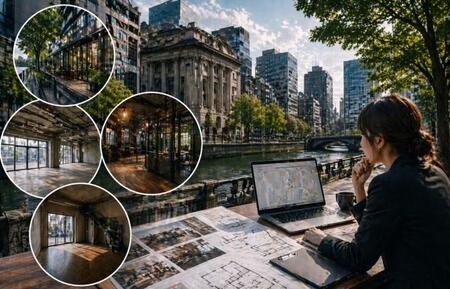
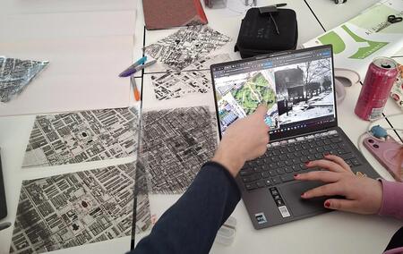
It is also necessary to adhere to copyright laws for photographs, personal data usage policies, and terms for working with external sources. The final decision on publication always rests with the individual. The core principle of the project is that while automation accelerates information retrieval and processing, the editorial team ensures the accuracy, relevance, and quality of the final material.